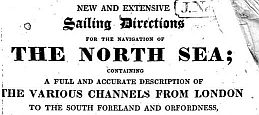
copyright ©
Stephen Gavin
2003 - 2011
brig Elizabeth Jane
Support Lifeboats
Brig Elizabeth Jane - launched Nova Scotia 1817 - Lost July 1854 off the coast of Yorkshire - Found Robin Hood's Bay, July 2003

Sunderland

View Map

Sunderland in the 19th Century

Exhibition: Sunderland in the 19th Century

Sunderland: M'Culloch's Universal Gazetteer 1844 ;


An Historical, Topographical, and Descriptive View of the County Palatine of Durham
Sunderland including Bishop and Monkwearmouth;
including Sunderland seen from the North Pier

book


New and Extensive Sailing Directions for the Navigation of the North Sea. p65 W J Norie. 1823

Entrance to Sunderland Harbour (1864) - James Wilson Carmichael

SINE (Structural Images of the North East) A fine source of images of the North East in Elizabeth Jane's time.

Entrance to Sunderland Harbour (1864) - James Wilson Carmichael

Landscape etching of the drops at Sunderland, with the first Wearmouth bridge and the bottle works' cone faintly visible in the background. View from the west. (Image from 1844)

Please note: The image above and others on the SINE site are copyrighted. (However) The SINE Project and New Opportunities fund allow their use for private, non commercial purposes. No other use or exploitation of these images is permitted without the written permission of the copyright holders. Every endeavour has been made to assign correct copyright to the images presented on this website. However, if you believe you have a claim to an image which is used on the site, please contact us at sine@ncl.ac.uk . Inclusion of structures on this website does not imply public right of access.


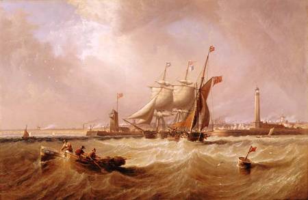
The History of the Town and Port of Sunderland, and the parishes of Bishopwearmouth & Monkwearmouth.